Hiking in the Klondike Region

Hitting the hiking trails around Dawson City
The Klondike may be most widely known for its historic gold rush, but the region also presents a golden opportunity for hikers. Between the short, scenic paths that dot Dawson City and the longer day hikes that criss-cross Tombstone Territorial Park, you could easily spend weeks wandering the region.
1

In Dawson, there are a handful of short trails that measure three kilometres or less. The easiest one to find is the Waterfront Trail, which runs from the north end of town, along the Yukon River, until it meets the Klondike River confluence. There are various kiosks and interpretive signs along the way, highlighting the history of the Tr’ondek Hwech’in First Nation and a number of Parks Canada National Historic Sites. This trail is flat and accessible along its entire length.
2

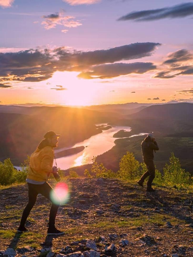
If you’re up for something a little longer, try the Midnight Dome Trail. Take King Street away from the Yukon River to the edge of town. As you head uphill, the road veers right while the trail diverges from the road on the left side. Follow the trail up the hillside until you reach Dawson’s distinctive Moosehide Slide, the tan-coloured scrape in the hills overhanging the town, and continue to a junction. There, you’ll turn right for a tough but worthwhile climb to a ridge that leads to the main viewpoint and summit of the Dome. From here, there’s a 360-degree view of Dawson, the river and the surrounding landscape. Head back down the way you came, or hitch a ride along Dome Road.
Ask at the visitor’s centre for details on additional trails, including Crocus Bluff Trail, Orchid Trail, the Ninth Avenue Trail and the 30-kilometre Ridge Road Trail, which was built in 1899 and still features some turn-of-the-century remnants.
3

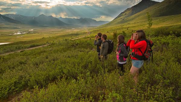
Once you’ve exhausted Dawson’s network, drive 100 kilometres northeast of town and spend some time in Tombstone Territorial Park. With more than 2,000 square kilometres of rugged mountain terrain, Tombstone offers plenty of trails with a wide range of options in terms of distance and difficulty. The Beaver Pond Trail is a one-kilometre stroll down a wide gravel path that leads to a series of wetland ponds. If you’re up for more of a half- to full-day hike, opt for the Hart River Winter Road. Keep in mind, though, that after August 1, this road is often used by hunters as an access road.
This 9.5-kilometre trail leads through an abandoned 60s-era mineral exploration site, past views of Trapper Mountain, where you can spot Dall’s sheep if you look closely. The halfway point at Hart Pass is the highest you’ll climb on this easy-to-moderate trek. It’s a great vantage point for scanning the surrounding landscape for wildlife, including moose, caribou, bear and more.
Accessibility of both trails and campsites varies, depending on the season and the weather. Typically, both are open in late spring, summer and early fall. However, it’s best to check with the staff at the Tombstone Interpretive Centre. If you can, plan for a late summer trip. That’s when the fall colours pop, creating a tapestry of blazing pink fireweed, vibrant yellow leaves and bright blue skies.


