Dempster Highway road trip itinerary
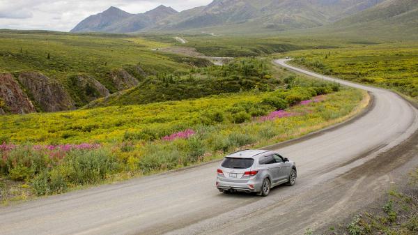
No stoplights. No traffic jams. No road rage.
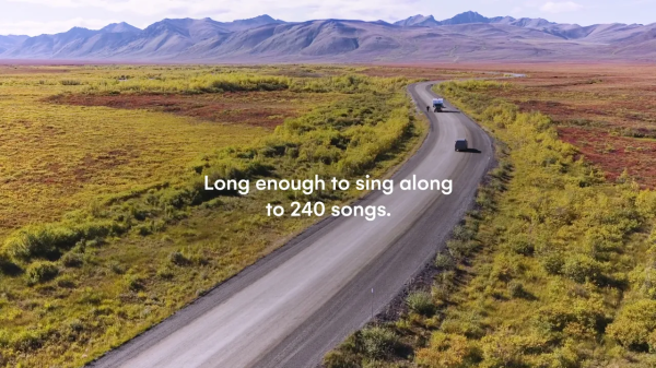
If your ideal road trip involves getting way off the beaten track then this is the drive for you. Canada’s only all-season public road to cross the Arctic Circle, the Dempster Highway, is 740 km (458 mi.) of unpaved road that traverses some of the most beautiful scenery on the planet. It starts near Dawson City and heads due north to Inuvik in the Northwest Territories. Dramatic tundra landscapes, mountain ranges and abundant wildlife are all part of the Dempster experience. Early summer brings a variety of young animals, mid-summer heralds long days under the midnight sun, while late summer visitors are treated to vivid crimson and gold tundra vegetation.
Regions
Communities
1

The Klondike Gold Rush has become synonymous with adventure and the spirit of the frontier. A slice of history itself, Dawson City is the real deal. Its inhabitants are an eclectic mix of modern day characters living side by side with a rollicking past. Gold rush lore permeates every corner of this town.
The perfect way to explore downtown Dawson is on foot. At the Visitor Information Centre you can organize a guided walking tour with Parks Canada. Their interpretive guides will bring to life the gold rush stories and characters, from the elegance of the Commissioner’s Residence to the height of society at the Palace Grand Theatre. Dawson was, after all, once known as the “Paris of the North”. Listen to the words of the Yukon’s most famous poet, Robert Service, or wander down the lane to the cabin of our other famous gold rush writer—Jack London.
You can also get to know the cultural history of the area’s original inhabitants, the Tr’ondëk Hwëch’in, at the Dänojà Zho Cultural Centre.
2
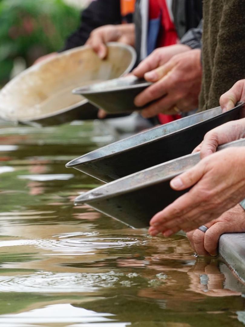
Now that you’ve explored the town, drive out to where it all began. You can visit the original gold strike site at the Discovery Claim National Historic Site and then see how large scale mechanized mining took place at Dredge No.4. Then it’s time to try your own hand at gold panning at Free Claim #6—anything you find is yours to keep.
One of the best viewpoints of the region is atop the Midnight Dome. On your way back into town from the goldfields you’ll pass the turn-off—it’s well worth the detour. At the top you’ll be rewarded with 360° views and, if you time it right, an amazing Yukon sunset.
Your Dempster adventure requires some planning. As you enjoy your day in Dawson City, keep in mind you’ll need a well-running vehicle, a spare tire, full tank of gas plus an extra jerry can, food and fresh water, as well as a plan for camping or other accommodations while on your trek.
This evening, before heading off into the wilderness, kick up your heels at Diamond Tooth Gerties, where the entertainment comes gold rush style. Can-can girls whoop it up on stage as the roulette wheels spin in Canada’s oldest gambling hall.
And if you’re feeling brave, head for a cocktail at the Downtown Hotel. No frothy pink concoctions here. Instead, you’ll be served your drink with a human toe bobbing in the glass. Suck it back, and you’ll become a member of the illustrious Sourtoe Cocktail club—just remember not to swallow the toe.
3
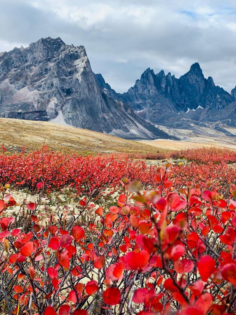
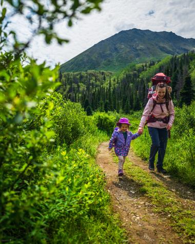
The Dempster Highway begins at Dempster Corner about 40 km (25 mi) from Dawson City. Travel north to Tombstone Territorial Park. This unique wilderness of wind-carved mountain peaks and sub-arctic landscape offers outstanding wildlife viewing, hiking and scenic vistas.
At the Tombstone Interpretive Centre you can get the latest information on wildlife sightings and trail conditions. They also offer interpretive programs, guided walks, and art, culture and natural history special events throughout summer. Sip some mountain tea, relax and chat with other adventurers.
At the North Fork Pass viewpoint, the craggy, granite peak of Tombstone Mountain—so named for its striking resemblance to a grave marker—is visible from the roadside.
The highest point on the Dempster, North Fork Pass Summit, is a great spot for a roadside ramble. Keep an eye out for pika, marmots, ptarmigan and eagles. From here you’ll enter the Blackstone Uplands, an area rich with birdlife. At Two Moose Lake a viewing platform provides the perfect location to soak in the silence and watch for an elusive moose or two (twilight is best).
If you’re camping there’s either the Tombstone Territorial Park campground or Engineer Creek Campground.
Driving Time: 2 hours to Tombstone Campground (112km/69mi.); 4 hours to Engineer Creek (234km/147mi.)
4
The adventure continues today through the Northern Ogilvie Mountains. Part of ancient Beringia, this area escaped glaciation during the last Ice Age. The road follows the Ogilvie River Valley before climbing to the Eagle Plains plateau, where you can enjoy a panoramic vista at the Ogilvie Ridge/Gwazhal Kak viewpoint.
The halfway point of the Dempster is Eagle Plains. If you’re not camping, the Eagle Plains Hotel is the only accommodation available between Dawson and Inuvik and should be booked in advance. There’s also a restaurant, RV services and gas station. Fuel up both yourself and your vehicle.
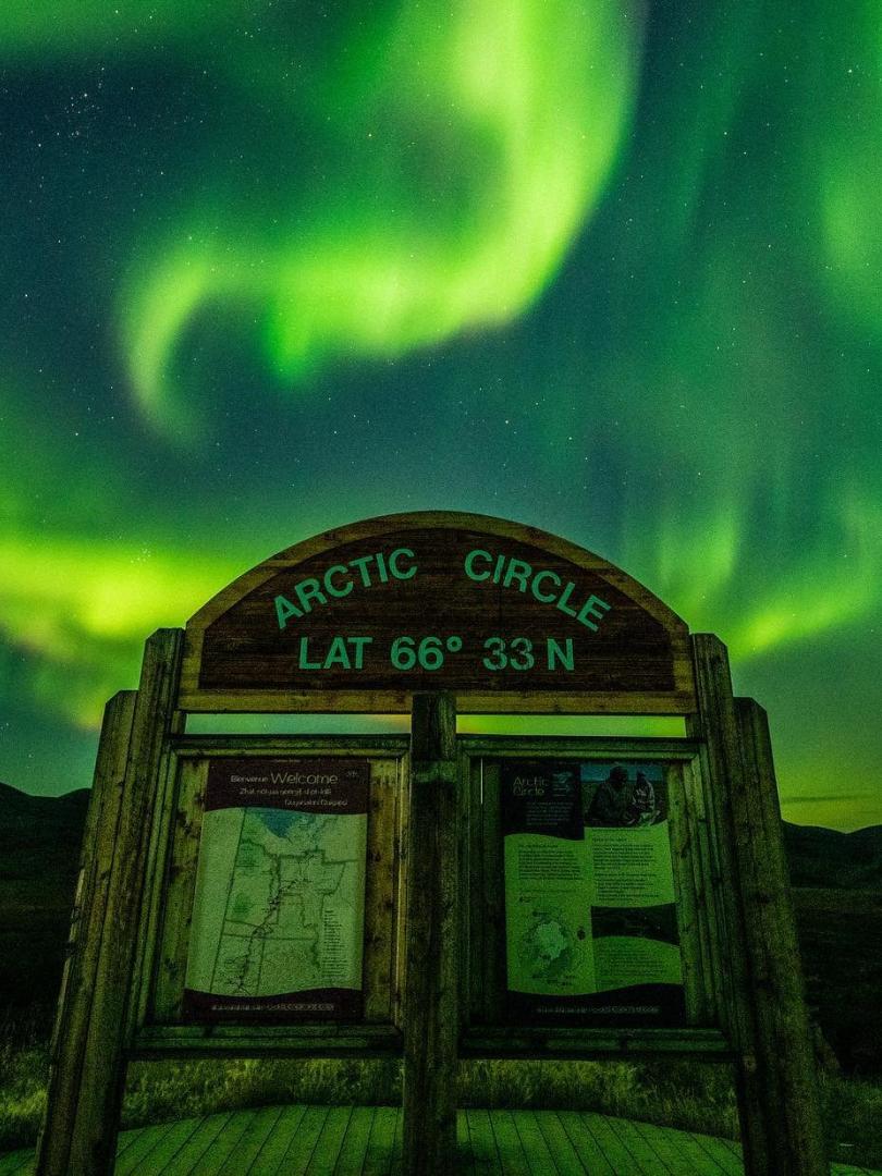
A short drive later you’ll find yourself at latitude 66° 33’, otherwise known as the Arctic Circle. It’s time to break out the champagne and pose for the proof-you-did-it photo. On summer solstice (21 June), you can watch the sun circle the sky and never set. Absorb the moment while you savor the sweeping views of the Richardson Mountains.
From here, you can either continue on to Inuvik in the Northwest Territories or return to Dawson City.
Driving Time: 4 - 5 hours Engineer Creek to Arctic Circle (212km/130mi.)
5
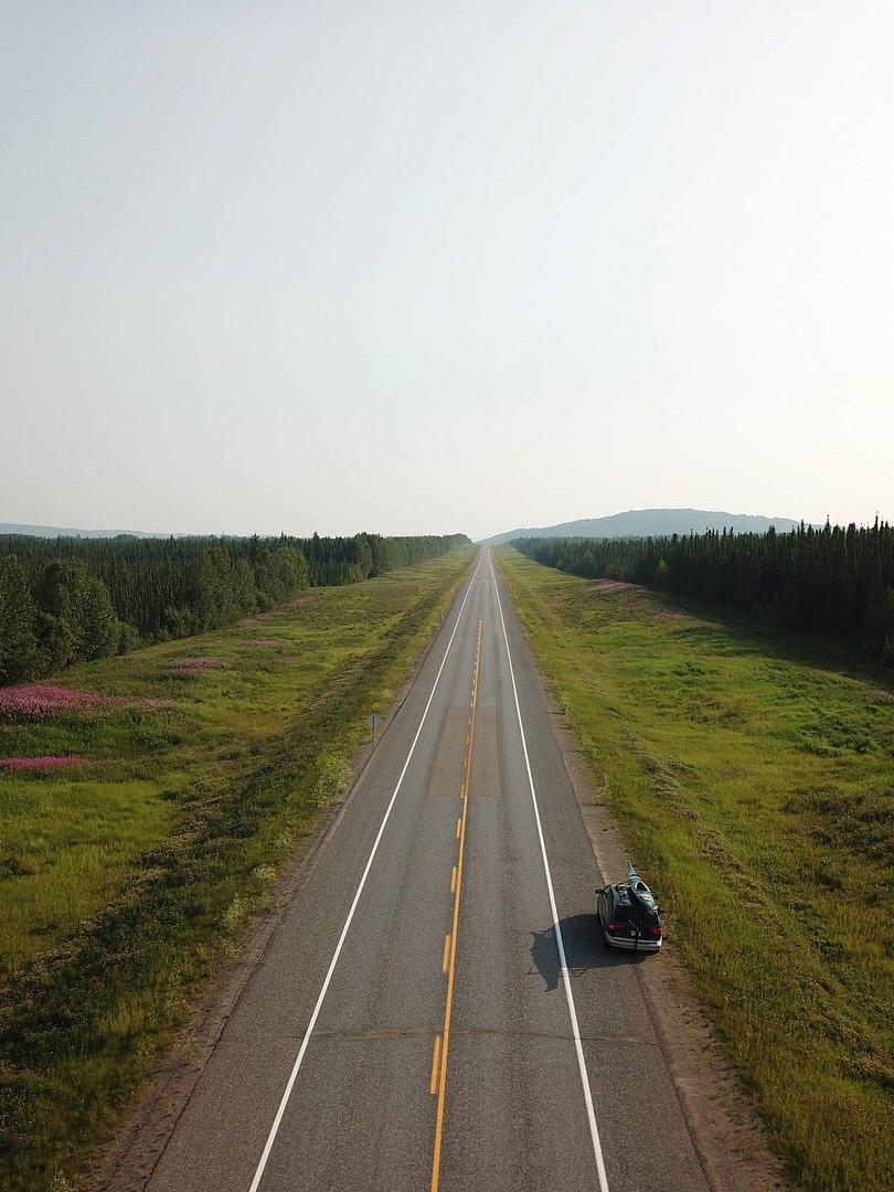
From the Arctic Circle, the Dempster crosses into the Northwest Territories and through the Richardson Mountains before descending to the Peel River. A free vehicle ferry will carry you across the river during the summer months. Continue north to the Dene settlement of Fort McPherson.
Make sure to visit the Lost Patrol Gravesite, where the men from this ill-fated Northwest Mounted Police patrol of the early 1900s were laid to rest. The search for the men was led by Corporal W.J.D. Dempster, for whom the road is named.
After another ferry crossing—this time over the Mackenzie River—the road continues through the village of Tsiigehtchic and eventually ends in the arctic town of Inuvik. Meaning “Place of Man” in the Inuvialuit language, you’ll find a full range of services here including accommodation. Drop into the Western Arctic Visitor Information Centre to find out more about the Mackenzie Delta region. Other attractions to explore include the unique Igloo Church, the Inuvialuit Cultural Centre and the Aurora Research Institute.
There are several campgrounds between the Arctic Circle and Inuvik.
Driving Time: 6 hours Arctic Circle to Inuvik (329km/204mi.)
