Don't miss this 7 of the Yukon's most photogenic locations
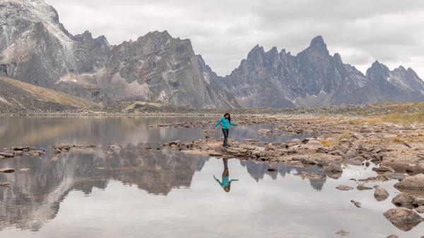
The Yukon has a good reputation for filling memory cards
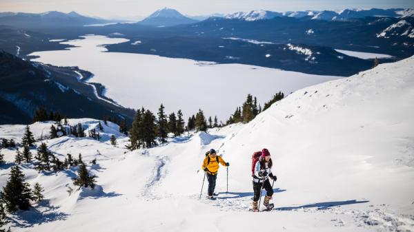
There’s no shortage of choice when it comes to taking photos up north. Turn left for a caribou, turn right for a glacier or scroll down to see the very best of what else is on offer.
Miles Canyon
Prospectors looking to strike it rich in the gold rush would avoid this challenging canyon.

But for photos - it’s well worth the 10 kilometer drive, bike or even hike from Whitehorse.

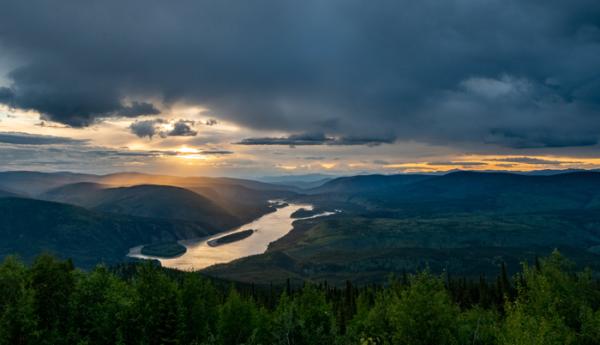
The Midnight Dome
In 1899, a group of people gathered on the Midnight Dome to listen to poet Captain Jack Crawford recite favourites from his collection. Nowadays, people head there for sightseeing, selfies and sunbathing under the midnight sun. The easiest way up is driving, just 15 minutes from Dawson City.
Kluane National Park
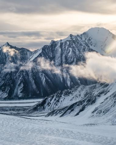
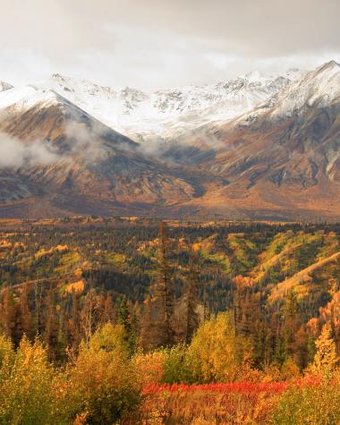
The only way to fit Kluane National Park and Reserve into one photo is from space, but don’t let that stop you from exploring it from the ground up.
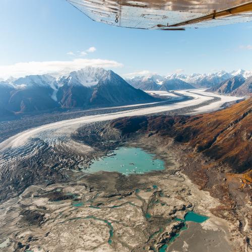
Taking up the entire southwest corner of the Yukon, there are more mountains, trees and wildlife here than anywhere else, so the only way you can be disappointed is if you forget to take your lens cap off.
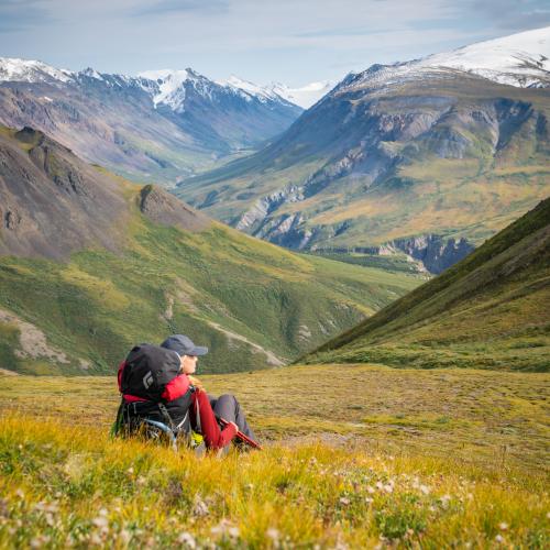
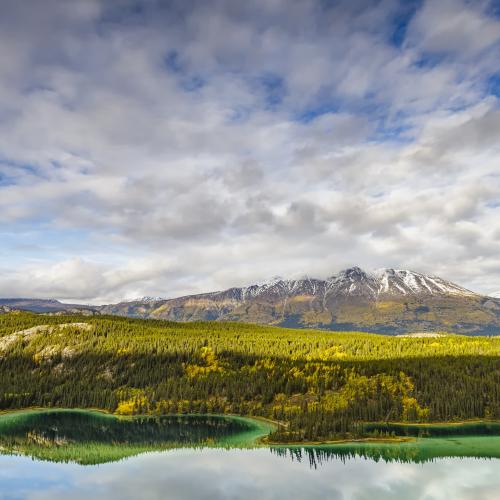
Emerald Lake
During the last ice age, woolly mammoth herds died off and Emerald Lake was born. With its bluish-green complexion that draws people in from around the world.

It’s no wonder they named the gemstone after it. You’ll find this natural wonder just 60 kilometres south of Whitehorse.
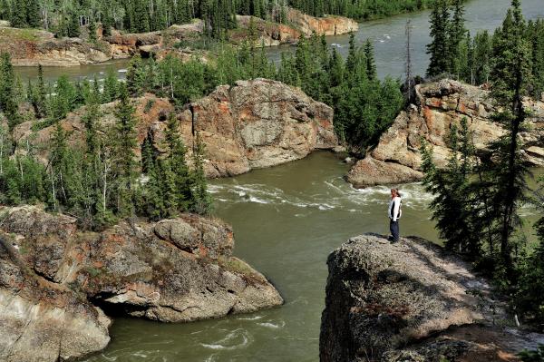
Five Finger Rapids
Five Finger Rapids is a hazardous stretch of water, due to the four islands that divide the river into five narrow channels. Now, the only hazard is a stubbed toe on one of the 229 steps down to the river’s edge. To find the infamous spot on the Yukon River, head north from Carmacks.
Tombstone Park
Don’t be put off by the name—Tombstone Territorial Park is alive and well, home to a diverse range of wildlife including caribou, bears and over 150 species of birds.
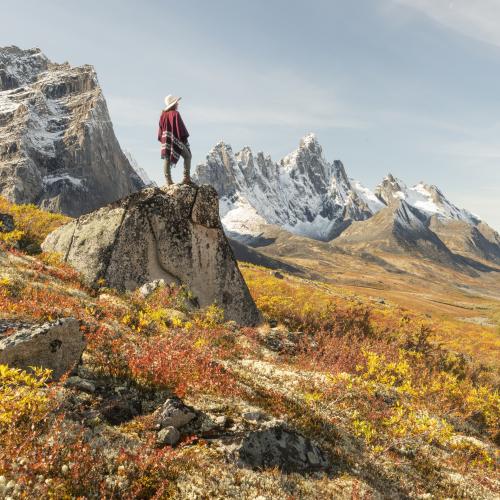
The landscape runs for miles so, before you leave Dawson City for the one and a half hour drive, make sure to pack your hiking boots.

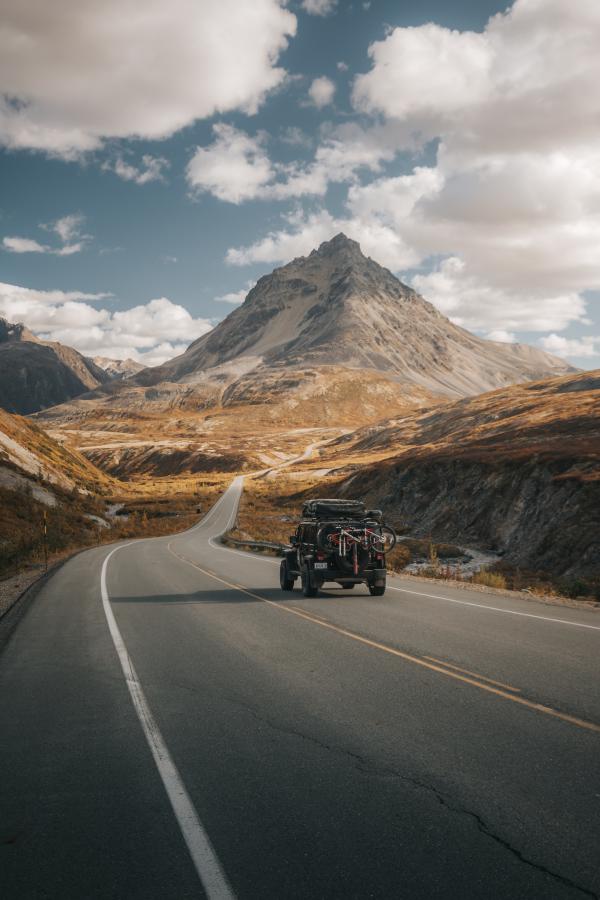
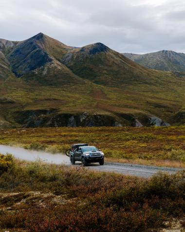
Haines Highway
The Haines Highway, originally called the “Grease Trail” due to the amount of fish transported along it, stretches through a province, territory and country. Mile markers point out hundreds of photo opps, so it might take you a little longer than Google Map’s three-hour estimate to complete the drive from Haines to Haines Junction.
