Campbell/Canol route itinerary

Surprisingly, it’s the road less-travelled
What really sets the Campbell/Canol route apart is its solitude and leisurely pace. So if you’re looking for a more remote Yukon experience and the chance to really disconnect from the world for a while, then this is the road trip for you. Gravel roads meander past inviting lakes, sparkling rivers and scenic vistas. Towns along the way offer historic, cultural and natural diversions. Add to that the abundant wildlife, scenic camping, and outstanding fishing and you have the perfect Yukon adventure.
Looking for some extra guidance on the road? The Yukon Sights and Sites app is designed to help you plan your next journey along Yukon’s major highways. You can select your highway, region or the type of site you’d like to visit. Download the app here.
Categories
Regions
Communities
1

From Whitehorse, head east on the Alaska Highway. It’s an easy drive to Watson Lake through the panoramic Southern Lakes region.
In Teslin, gain an insight into Tlingit art and culture at the Teslin Tlingit Heritage Centre. Photographers and local history buffs should not miss the George Johnston Museum with its extraordinary collection of photographs by George Johnston. George was a renowned Teslin Tlingit photographer who documented life in the area through the early part of the 20th Century.
Reveal your own photographic talents at the Rancheria Falls Recreation Site, where a short boardwalk trail takes you to the picturesque waterfalls.
Watson Lake began life as a fish camp and small airstrip but boomed during the construction of the Alaska Highway, and is now the Yukon’s third largest town.
One of the most popular local attractions began in 1942 when a homesick army engineer nailed up a sign pointing to his hometown of Danville, Illinois. Today, the Signpost Forest has 85,000 signs and counting. Feel free to add yours.
Our gloriously long summer days do have one downside—you can’t see the northern lights. But the next best thing is a visit to the Northern Lights Centre, which offers panoramic video with surround sound that immerses you in the beauty of the aurora.
Driving Time: 5 hours (438km/272mi.)
2

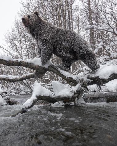
The Robert Campbell highway, between Watson Lake and Carmacks, features spectacular lake scenery and excellent wildlife viewing opportunities. With moose, bears, Fannin sheep and caribou in the area, you won’t want to forget your binoculars.
Hikers will love the Dena Cho Trail, which follows a traditional route used by the Kaska people between Ross River and Faro. The trail generally takes three to four days to complete.
Although it may take several days to hike, it’s just a short drive from Ross River to Faro. Established in 1968 as a hardrock mining town, today this friendly community is a haven for residents, artists and visitors seeking wilderness. Drop by for a cup of tea on the deck of the log building, which houses the Campbell Region Interpretive Centre. Play a round on the golf course that runs through town, or hike one of the well-maintained interpretive trails.
In May, Faro welcomes thousands of feathered visitors. Conveniently, they arrive just in time for the Faro Sheep and Crane Festival. Human visitors can watch Sandhill Cranes ride the thermals on their way north for the summer and watch the local population of Fannin Sheep.
You can choose from at least eight campgrounds located on excellent fishing lakes along the Campbell Highway. Whose turn is it to catch dinner?
Driving Time: 7 hours (426km/265mi.)
3

Although we like to keep the pressure low in the Yukon, there are some decisions to be made today.
You have two options for the return trip to Whitehorse.
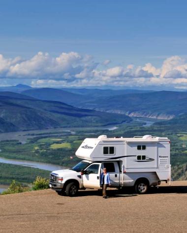
The first is to continue on the Robert Campbell Highway to Carmacks and return to Whitehorse along the North Klondike Highway (suggested for RV’s). While you’re in Carmacks, learn about the Northern Tutchone culture and people at the Tagé Cho Hudän Interpretive Centre. The riverfront boardwalk offers beautiful views of the Yukon River, and before returning to Whitehorse, it’s worth the short drive north to Five Finger Rapids.
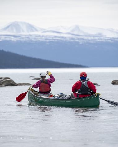
The second option is to return to Ross River and then onto the South Canol Road. This remote gravel road winds through some spectacular Yukon wilderness. Be sure that you’re fully provisioned and prepared for rough conditions. Spend a couple of days camping and embrace the region's peaceful magic. Try fishing in Quiet Lake, or paddle across subalpine Rose and Lapie lakes. Keep your speed down and your camera handy—this is moose country.
At Johnson’s Crossing turn onto the Alaska Highway for the short drive back to Whitehorse.
Driving Time: 5 hours via Carmacks (358km/222mi.); 8 hours via the South Canol Road (432km/268mi.)
Option for the Adventurous: North Canol Road
A summer ferry in Ross River provides service to the North Canol Road. This more rugged road is used by locals, visitors, hunters and mining companies. Travellers journeying onto this seasonal route should be fully provisioned and prepared for rough road conditions that may require a 4WD vehicle.


