Travel tips How to pack for a remote road trip
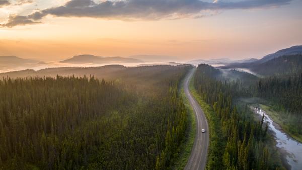
A road trip that’s way up on the list and the map
As Robert Frost once said, taking the road less traveled makes all the difference. What he didn’t mention is that one of those differences is you’ll find fewer gas stations along the way.
The four most rugged highways in the Yukon include the Dempster Highway from Dawson City, Yukon, to Inuvik, Northwest Territories; the Canol Road from Whitehorse, Yukon, to Norman Wells, Northwest Territories; the Robert Campbell Highway between Watson Lake and Carmacks; and the Silver Trail from Stewart Crossing to Mayo and Keno.
The Dempster Highway
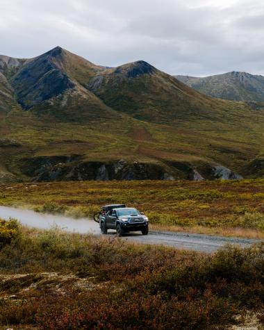
On the Dempster, you’re almost literally driving to the end of the Earth - the 700-km road ends in Inuvik. From there, the Inuvik-Tuktoyaktuk Highway is only another 138 km to the Arctic Ocean! There’s one service station along the way at Eagle Plains. Each season brings its own set of considerations on this highway.
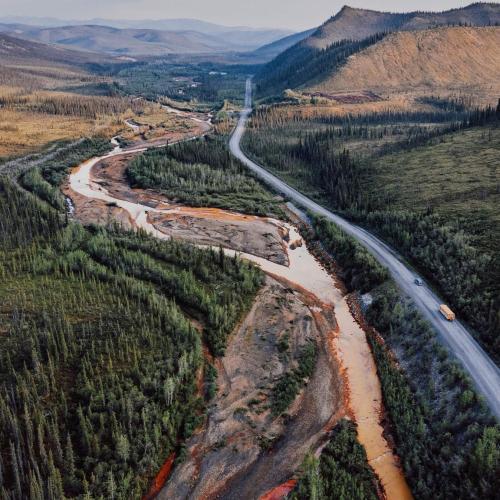
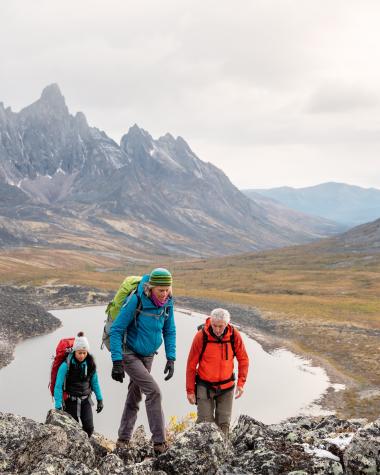
During a wet spring, the road can be slippery. During a dry summer, the road can be dusty. There are fewer fellow drivers out there in the fall if something does go wrong, but the scenery is at its most magnificent then, with jaw-dropping hits of yellow, red, orange and fuchsia lighting up the landscape.
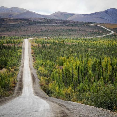
Cruise the Canol Campbell
The Canol Road is closed during the winter and minimally maintained in the summer. Trees on the narrow road aren’t cut back, which makes for compromised sight lines, so take the curves slowly. There are services at Johnson’s Crossing, which has an RV park, and Ross River only.
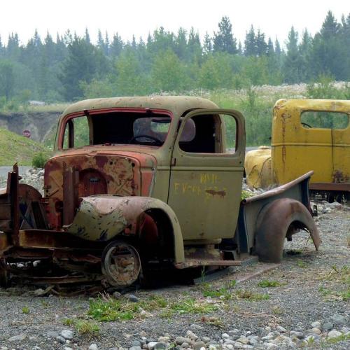
The Robert Campbell, measuring 583 kilomètres, is open year-round but is similarly sparse. There are cut-offs to services in Faro and Ross River. Otherwise, there are campgrounds (Yukon campgrounds are largely unstaffed and operate on a self-registration system) and lookouts.
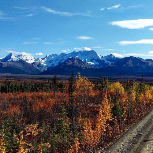
Tour the Silver Trail
Officially Highway 11, the more colourful name of the “Silver Trail” is a nod to the area’s silver mining boom. This 110 km road runs roughly parallel to the Stewart River. Catch glimpses of the river as you travel through long stretches of wilderness scenery. The Silver Trail is paved as far as Mayo, and unpaved the rest of the way to Keno City.
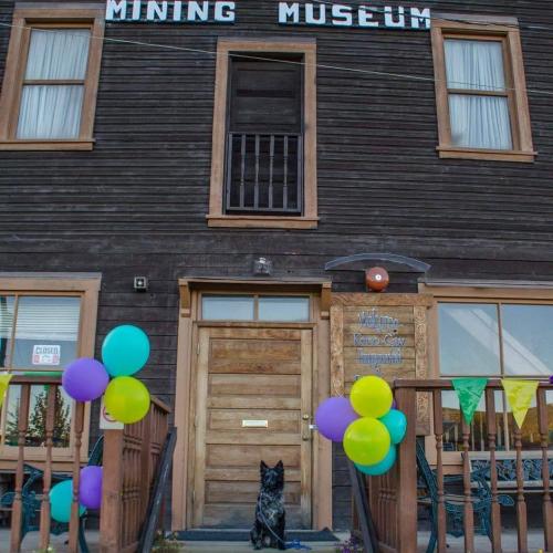
Barely topping 500 year-round residents, this region is largely undeveloped. There are services in Mayo including a gas station, campground and Interpretive Centre. Keno City is the smallest community in the Yukon. Despite it's size, you'll find plenty of services including accommodations, a campground, food, a Mining Museum and spectacular views at the top of Keno Hill.
Planning makes perfect
For any of these remote roads, you’ll want to make sure of a few things:
First off, ensure you have a full tank of gas as well as a couple of jerry cans on reserve. You should also stock up on food and water. This is doubly true if you’re going to the Northwest Territories, where selection is limited.

While you’re driving, be aware of the road surface. It’s easy to lose track of your speed when the roads are straight and no one else is on them, but the surfaces in the north are different from what you’ll find in the south, with lots of loose gravel and dirt. You’ll also come across wildlife, including elk, caribou, bears, moose and more—all of which can appear on the highway in the blink of an eye.

Sharpen your skillset
Make sure you have a spare tire or two (this is particularly true of the Dempster, which has sharp shale on its surface) as well as the skills and tools to change a tire out if needed. It’s also a good idea to have a windshield repair kit handy. Even tiny pebbles kicked up on the relatively smooth Alaska Highway can put a chip in a windshield. The larger rocks on the less travelled highways can do even more damage.

You should definitely have a satellite phone on board. Many Yukon highways have long stretches without cell service. Follow all these tips and you should be more than safe on your trip, but it’s best to cover all your bases. Total North in Whitehorse rents satellite phones to travellers.


